Oyster farming in Maine is becoming increasingly data-driven as University of Maine researchers use satellite observations to predict oyster growth and identify promising aquaculture sites, reports the Global Seafood Alliance.
The research, led by scientists Thomas Kiffney and Damian Brady, combines satellite measurements of coastal temperature, chlorophyll and suspended particulate matter with field observations to understand how environmental conditions influence eastern oyster growth.
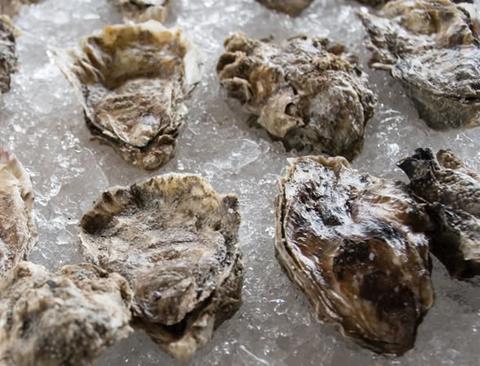
The approach is designed to help farmers compare locations and estimate how long oysters may take to reach market size.
“Maine has a long, jagged, glaciated coastline with many narrow estuaries, bays and islands that support shellfish farming,” Kiffney said, noting that differences in temperature, food availability and water circulation can significantly affect oyster development.
The researchers developed an online dynamic energy budget model that allows farmers to select a coastal location and receive growth estimates. The model draws on 10 years of Landsat 8 and 9 data collected between 2013 and 2023, alongside European Sentinel-2 observations. Researchers also used several years of field data to validate their predictions.
Landsat satellites provide high-resolution information on coastal temperatures, while Sentinel-2 data help estimate chlorophyll and suspended organic matter. The researchers found that temperature and suspended particulate matter were captured effectively, although chlorophyll estimates were less precise and remain an area for improvement.
The technology could provide significant benefits for Maine’s expanding oyster industry, whose value has increased 78% from about US$2.5 million to more than US$10 million.
Beyond site selection, satellite data could help farmers monitor harmful algal blooms, heat waves and seasonal changes, potentially reducing financial risks associated with variable growth and mortality.
Researchers also see applications beyond oysters, including eelgrass, kelp, shellfish restoration and other aquaculture species. However, frequent cloud cover and satellite calibration challenges remain obstacles.
The team is now working to improve data quality and develop practical farm-level tools, including dashboards that combine satellite observations with sensors installed directly on farms.