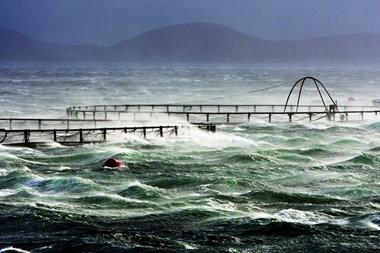
A complex computer model developed in South Australia is offering commercial operators the chance to more efficiently and sustainably run their businesses.
Icelandic Fisheries Exhibition |
IceFish Conferences |
|---|---|
|
|
| The largest commercial fishing exhibition in the North. | Co-located with the Icelandic Fisheries Exhibition, the IceFish Conferences bring the seafood sector together for three days of insight, innovation and connection. |
| Visit the IceFish Website | Visit IceFish Conferences |
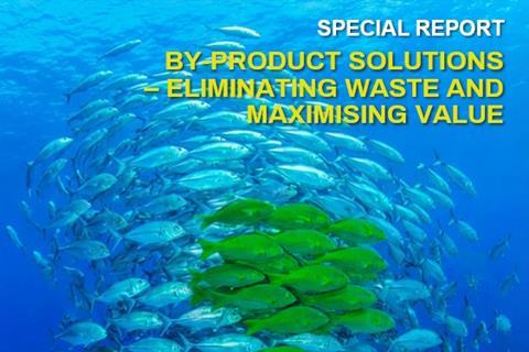
By-Product Solutions |
Smart, Connected Seafood Processing |
Land-Based Aquaculture Technology |
Greener Fishing |
|---|---|---|---|
| January-February 2026 | March-April 2025 | July-August 2025 | November-December 2025 |
|

|

|

|
| Cutting waste and maximising value | Robotics, analytics software and other Industry 4.0 technologies are helping to scale-up productivity | New production systems are escalating the industry’s contribution to global food security | Fisheries are becoming increasingly responsible and sustainable thanks to new technologies and initiatives |
| Read More | Read More | Read More | Read More |
A complex computer model developed in South Australia is offering commercial operators the chance to more efficiently and sustainably run their businesses.