


Fishermen’s organisations have expressed their fears over the UK Government’s announcement to shift wind farm renewable subsidies from onshore to offshore.

They fear that this move will put even greater pressure on the industry, including constraints on where fishermen can fish.
The National Federation of Fisherman’s Organisations (NFFO) has called for more cooperation with the industry at the planning stages of offshore wind farm developments to avoid destruction of prime fishing grounds.
This call follows an early round of developments where the NFFO says that poor preparation and decisions based on inadequate information placed a wind farm development on one of the best lobster grounds in the country. In another case, inadequate information on fishing led the planners to ignore the presence of a significant amount of fishing by the under-15 metre fleet.
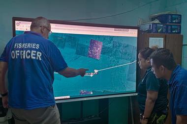
To avoid repeating similar debacles, the NFFO has worked closely with Crown Estates on an innovative seabed mapping project, designed to use fishermen’s own electronic data to identify the most important fishing grounds.
The project has collated a large body of plotter data from a range of fishing vessel skippers and combined this information with the Crown’s powerful mapping software to map the main areas of fishing activity with astonishing accuracy.
The data collected should prove invaluable in informing future rounds of offshore renewable planning to avoid the most important fishing areas, as well as encouraging direct dialogue between individual offshore developers about how to minimise the displacement of fishing activities. The findings also have direct scope to help inform of a network of marine protected areas in UK waters, and marine spatial planning generally.