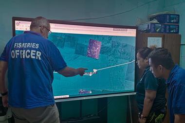


A spatial management programme has been set up to protect vulnerable seabed habitat whilst monitoring, understanding and supporting scallop fleet activities in and around the Shetland Islands.
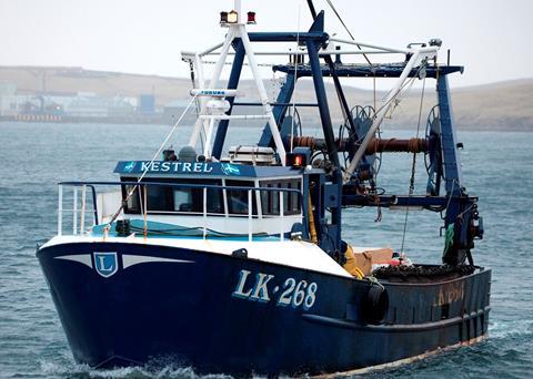
Succorfish’s SC2 vessel monitoring system (VMS) units are being used to capture location, course and speed of 15 scallop vessels every 10 minutes as part of a two-year project funded by the Fishing Industry Science Alliance (FSA).
Tom Rossiter, head of marine, Succorfish, said: “Data collected so far has included the footprint of the scallop fishery, the time in which fishing activities are carried out, key activity areas and seasonal variances and this information will be central to how different parties come together in the future to tackle issues faced by the local fishing industry.”
The aim of the project is to deliver solutions to real challenges faced by the local industry.
“The SC2 units fitted by Succorfish precisely detail such information in close to real time and offer fishermen a valuable, low cost resource without interfering with fishing activities. Over 99% of all areas, including the most remote waters, are covered by our products and therefore the response from individual fishermen taking part has been very positive indeed,” he added.
The SC2 VMS has been designed for5 the marine industry and allows fishermen, government agencies and conservationists to join forces to maintain or boost livelihoods whilst preserving the natural environment and marine protected areas.