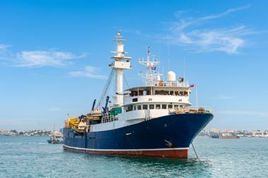


For over 40 years Kingfisher, a department within the UK based Sea Fish Industry Authority, has supplied fishermen with seabed information. Kingfisher now produces charts and fishing plotter files containing positions of man-made offshore obstructions connected with the UK offshore oil and gas industry and the submarine telecommunications and power cable Industry.
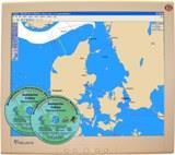
Kingfisher now supplies fishermen with charts and electronic chart overlays displaying the submarine telecommunications cables surrounding the UK and Danish waters. This information is free of charge and is provided in many fishing plotter formats. CDs containing this information are updated annually and will be distributed at the Kingfisher stand.
Fishermen can also access an interactive website in both English and Danish, www.dkcpc-charts.dk. This is a source of information on submarine cables passing through all Danish waters. This website is interactive and users can download fishing plotter files, view the cables on a map, read emergency procedures and contact information and register for updates.
Kingfisher provides a similar service to the fishermen for the offshore oil and gas industry providing all positional information for the infrastructures on the UK Continental Shelf. Electronic plotter files for the oil and gas pipelines, platforms, wells and all associated infrastructure can be downloaded from the Kingfisher website and is also available from the dedicated website www.Fishsafe.eu.