


Globavista has launched BigOceanData – a next-generation vessel tracking system for the professional market.
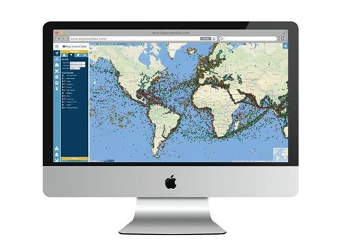
BigOceanData is a completely new platform that has been under development for more than a year. Accessed via a web browser, a wide array of information can be accessed and overlaid on the world map, while remaining easy on the eye and intuitive to operate.
BigOceanData has introduced a number of significant improvements to the standard vessel tracking model. At the top of the list is the fact that BigOceanData delivers satellite AIS data as standard. Users have access to full, global, undelayed AIS data, both terrestrial and satellite, regardless of the size of their fleet. This is in recognition both of the falling costs of satellite data and of the belief that no professional monitoring service should offer anything less than a complete global view.
The BigOceanData system also uniquely draws on other sources of vessel data to maximise the accuracy of the vessel plot information, such as third-party on-board tracking devices including SSAS and fisheries VMS transponders.
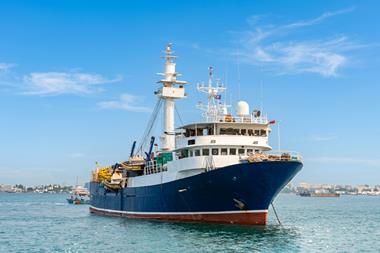
The system is very much aimed at fishing fleets, and a fleet’s vessels equipped with VMS tracking devices can be displayed and managed via the one application. Fish catch reporting or ERS systems can be linked into the same platform. Zone management features can monitor when vessels enter or leave restricted areas, while data exchange tools can be used to manage regulatory reporting requirements whilst monitoring effort reporting for internal use. The system provides a comprehensive VMS and MCS component for National Fisheries Authorities.
Other features include:
- An ‘in the vicinity’ feature that allows the flexible querying of events against individual vessels, weather events or piracy activity
- The integration of C-Map maritime charts with Google maps for maximum situational awareness for vessels at sea
- A unique least-risk routing capability in support of maritime security
- 12 months of historical data held online plus up to an additional four years offline
- 5-days of weather forecasts for anywhere in the world
The company says that functionality will be continually added over time in response to customer demand and evolving technology, and the underlying infrastructure will be routinely optimised for speed and reliability.
“We believe that BigOceanData sets a whole new standard in vessel tracking monitoring,” says BigOceanData director Steve Jones. “In particular, the technology of satellite AIS tracking is advancing rapidly and we are committed to passing those improvements on to our customer as they happen, ensuring that they always have access to the most accurate data available.”