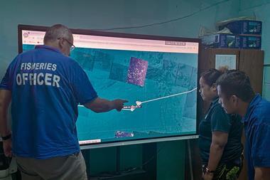


ORBIMAGE, a leading provider of satellite-based fishing information, has added SubSurface Temperature information to our popular SeaStar Fisheries Information Service.
Through its OrbMap Version 5.0 software, available for free with the SeaStar Service, customers can view worldwide temperature information at either the 50m or 150m depth levels. These new SubSurface Temperatures are available at no extra cost to SeaStar customers, and come in addition to the Plankton, Sea Surface Temperature, Surface Current, Weather, and Altimetry information that are already included with the service. ORBIMAGE delivers these products to customers at sea via normal e-mail attachments that are received aboard vessels using standard satellite telephones.
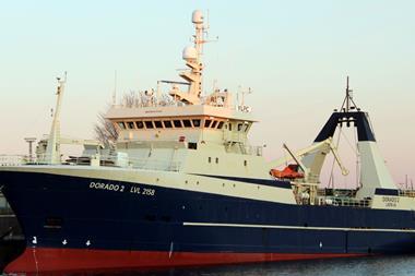
SubSurface temperature information is extremely valuable for both purse-seine and longline fishing vessels to help identify thermoclines and temperature breaks. The new SubSurface temperature maps are delivered weekly for all of ORBIMAGE's worldwide coverage area.
Many wonder how ORBIMAGE can obtain temperature information from well below the ocean surface.
According to ORBIMAGE, the company has always been known as a world leader for satellite-based fishing products, but how can the company see under the water's surface without making frequent temperature measurements all around the globe?
In short, the SubSurface temperature maps are produced through a combination of real-time satellite imagery and historical oceanographic measurements throughout the world's oceans.
Very powerful computer models combine this information to produce accurate temperature maps at various depths.
In more detail, oceanographic research ships over the years have measured vertical temperature profiles world-wide, and scientists have been able to produce data sets called climatologies that represent the average vertical temperatures for the world's ocean.
Research has discovered the relationship between the movement of the world's water masses and the overall thermal and density balances forced by both the patterns observed on the surface with the subsurface changes in temperature distribution. Altimetry from satellites clearly and accurately measures changes in the ocean's surface (Sea Surface Height) that can only be explained by movements of water masses.
Advanced calculations and very high powered computers allow us to determine the subsurface changes based on real-time observations of Sea Surface Temperature using weather satellites and Sea Surface Height using altimetry satellites.
The results of these computations