




ROFFS forecasting to be linked to vessel navigation system
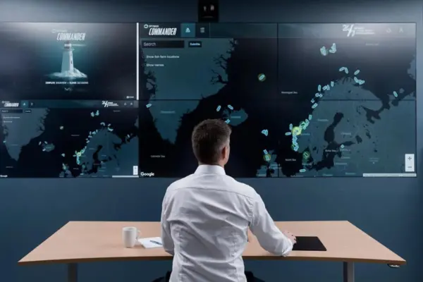
Fish forecasting specialists ROFFS, has just announced that all of the five ROFFS Fishing Forecasting Analyses products will be in a format for their clients to download and input directly to their computerized navigation systems.
If one uses digital charts or planning software, then the ROFFS data analyses will be on your computer screen and integrated with your fathometer and other bridge equipment. This is without additional software and hardware.
One hears talk about systems integration, but ROFFS has done it.
Roffer’s Ocean Fishing Forecasting Service, Inc. (ROFFS), Miami, Florida, U.S. (www.roffs.com) has been showing fishermen where the most productive waters are on a daily basis for the last 15 years.
Fishermen use their fishing oceanographic analyses because they want to spend more time finding and catching fish and less
time searching for concentrations of fish. Their innovative and state-of-the-science products are user friendly and cost effective. They truly provide the best fish location assistance available on and above the planet.
The staff of expert fisheries oceanographers and experienced fishermen do everything possible to learn where the fish are concentrated. Among the many conditions they evaluate are local and regional-scale currents including location of the water mass boundaries, current speed and direction, local and regional winds, ocean climate, water temperature (absolute and relative), water color, and bottom structure.
Related Articles
 FISHING TECHNOLOGY
 NEW VESSELS
 FISHING TECHNOLOGY